Best chanceEarly morningPossible cloud top484 mSummit clearance303 m
An outside chance of a cloud sea early in the morning, below the summit, with a possible top in 400-700 m, but the cloud could just as easily sit over the top.
Current cloud-sea candidates, how inversions form and why the view from the summit can be very different from the glen.
These peaks may stand above a bounded layer of valley cloud. They are possibilities, not promises—confidence and cloud height matter.
An outside chance of a cloud sea early in the morning, below the summit, with a possible top in 400-700 m, but the cloud could just as easily sit over the top.
An outside chance of a cloud sea early in the morning, below the summit, with a possible top in 600-900 m, but the cloud could just as easily sit over the top.
An outside chance of a cloud sea early in the morning, below the summit, with a possible top in 600-900 m, but the cloud could just as easily sit over the top.
Normally, air becomes colder with height. During a temperature inversion, a layer of warmer air sits above cooler air near the ground. Moisture can become trapped below that warmer layer, filling valleys and glens with cloud while higher summits remain clear.
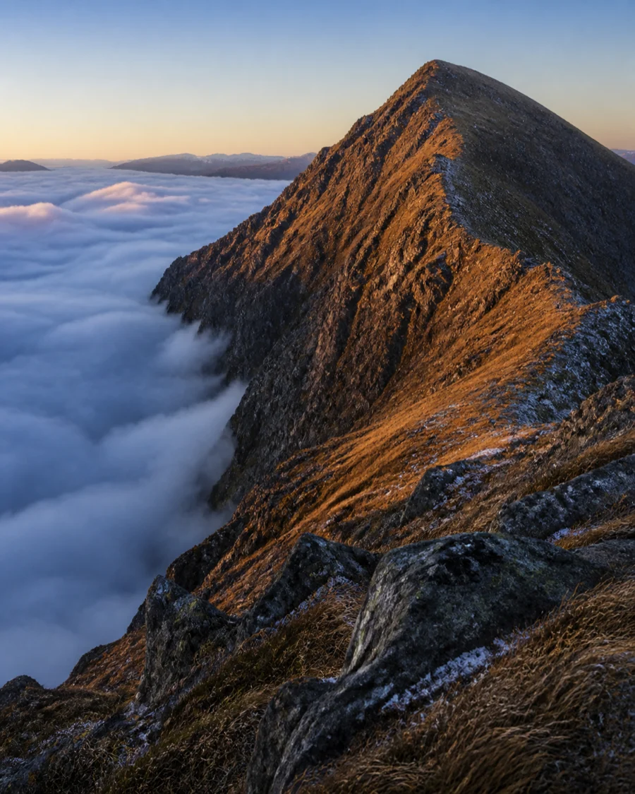
Look for settled high pressure, light winds and long clear nights—especially in autumn and winter. Cold air drains into valleys overnight, while drier air above may remain warmer. A strong inversion can persist well into the day; a weak one may break as sunshine warms the ground or wind increases.
Best chance describes the broad part of the day when the model keeps a bounded cloud layer below the summit. It is a planning window, not an appointment: the layer may form or break earlier than shown. The possible cloud top estimates the upper boundary of the modelled valley cloud. Summit clearance is the vertical gap between that cloud top and the mountain summit. A larger positive clearance is encouraging, but low confidence means the cloud could still sit over the top. An “earlier signal retained” label means a useful signal from a previous forecast run has weakened or disappeared in the latest run; it is kept as a low-confidence possibility when the wider weather pattern still supports it.
The summit view is only part of the day. Navigation can be difficult in dense cloud below an inversion, and cold damp air can make lower slopes feel raw. Carry the kit and navigation skills for the least photogenic part of the route, not just the hoped-for view.