The Knott weather forecast.

739 m summit in Lake District. Seven-day wind, cloud, rain and temperature forecast, updated 26 August 2026 at 15:32 UTC.

At a glance

Today on The Knott.

The Knott on Wednesday 26 August 2026: summit wind around 29 mph SE, gusting 40 mph; modelled cloud-free summit for 86% of daylight; feels like 9°C; 0.2 mm rain.

Medium confidenceHow the forecast works

Seven-day The Knott forecast.

Conditions can change quickly with height. Use the day-by-day summit detail below, then check again close to departure.

Medium confidence
Wind29 mph SE Gusts40 mph Feels9°C Rain0.2 mm Cloud-free summit86% Cloud base1,008 m Freezing level3,150 m Daylight06:06–20:18 · 14.2 h

Forecast confidence: Thunderstorm timing is inherently uncertain and may shift by several hours.

Thunder risk: high

from around midday into the evening. Leave exposed summits and ridges if thunder develops.

Cloud-free timing: Cloudy early, clearing later.

A mixed day on The Knott: summit wind broadly 15-35 mph, with gusts 35-45 mph early in the morning (gale-force winds). Thunderstorms are a significant hazard from around midday into the evening. Exposed summits and ridges are a poor choice while storms are nearby. Much calmer lower down - generally 5-15 mph in the valley, rising towards the tops. Any cloud sits well above the tops (base 700-1500 m) - clear summits. Cloud is likely to hang lowest on southeastern slopes; the northwestern side should see somewhat higher bases and better breaks. Little or no rain expected.
Medium confidence
Wind26 mph E Gusts37 mph Feels12°C Rain14.2 mm Cloud-free summit29% Cloud base532 m Freezing level3,040 m Daylight06:08–20:16 · 14.1 h

Forecast confidence: Thunderstorm timing is inherently uncertain and may shift by several hours.

Thunder risk: moderate

from the morning into the evening. Leave exposed summits and ridges if thunder develops.

High spate risk

Burns and unbridged crossings may rise quickly. Assess them at the water and turn back if unsure.

Cloud-free timing: Around 0% early, improving to around 20% later.

A rough, clagged-in day on The Knott: summit wind broadly 15-30 mph, with gusts 30-40 mph during the afternoon (strong winds). A meaningful thunderstorm risk is indicated from the morning into the evening. Avoid committing to exposed ridges if storms begin to build. High spate risk based on forecast rainfall. Burns and unbridged crossings may become difficult or impassable. Most likely from around 17:00 until around 02:00 the following day. Much calmer lower down - generally 0-10 mph in the valley, rising towards the tops. Cloud base around 500–800 m in the morning, then around 700–1000 m around midday and 400–700 m by late afternoon. The top is likely to drift in and out of cloud, with the best chance of a view around midday. Cloud is likely to hang lowest on eastern slopes; the western side should see somewhat higher bases and better breaks. A persistently wet day is possible, with around 10-20 mm indicated; local totals could vary considerably. Confidence moderate (forecast models agree on the walking impact of the wind) - the summit peak could reasonably be 24-29 mph, so treat the headline as mid-range.

Medium confidence
Wind31 mph W Gusts43 mph Feels10°C Rain0.7 mm Cloud-free summit29% Cloud base431 m Freezing level2,800 m Daylight06:10–20:13 · 14.1 h

Forecast confidence: Thunderstorm timing is inherently uncertain and may shift by several hours.

Thunder risk: moderate

from early morning into the evening. Leave exposed summits and ridges if thunder develops.

Cloud-free timing: Around 67% early, falling to around 20% later.

A grey, cloudy day on The Knott: summit wind broadly 20-35 mph, with gusts 40-50 mph around midday (gale-force winds). A meaningful thunderstorm risk is indicated from early morning into the evening. Avoid committing to exposed ridges if storms begin to build. The ground is likely to be wet after recent rain. Much calmer lower down - generally 5-15 mph in the valley, rising towards the tops. Cloud base around 1300–1600 m in the morning, lowering to 600–900 m around midday and 400–700 m by late afternoon. The top is likely to drift in and out of cloud, with the best chance of a view early in the morning. Cloud is likely to hang lowest on western slopes; the eastern side should see somewhat higher bases and better breaks. Little or no rain expected. Confidence moderate (Summit wind could be roughly 20-39 mph, which changes how difficult exposed walking may feel) - the summit peak could reasonably be 20-39 mph, so treat the headline as mid-range.
Medium confidence
Wind17 mph SW Gusts21 mph Feels8°C Rain0.9 mm Cloud-free summit0% Cloud base464 m Freezing level2,672 m Daylight06:12–20:11 · 14.0 h

Forecast confidence: A low thunderstorm risk remains difficult to time precisely.

Thunder risk: low

from early morning into the afternoon. Leave exposed summits and ridges if thunder develops.

A grey, cloudy day on The Knott: summit wind broadly 10-20 mph, with gusts 15-25 mph around midday (fresh and blowy). Thunderstorms are possible from early morning into the afternoon. Keep an escape route from exposed ridges and descend if thunder develops. Cloud base around 400–700 m in the morning, then around 600–900 m around midday and 400–700 m by late afternoon. Expect the top to stay in cloud for most or all of daylight, with no dependable break. Cloud is likely to hang lowest on southwestern slopes; the northeastern side should see somewhat higher bases and better breaks. Little or no rain expected.

Medium confidence
Wind23 mph SW Gusts32 mph Feels9°C Rain0.7 mm Cloud-free summit57% Cloud base693 m Freezing level2,715 m Daylight06:14–20:08 · 13.9 h

Forecast confidence: Thunderstorm timing is inherently uncertain and may shift by several hours.

Thunder risk: moderate

from early morning into the evening. Leave exposed summits and ridges if thunder develops.

Cloud-free timing: Cloudy early, clearing later.

A mixed day on The Knott: summit wind broadly 15-25 mph, with gusts 25-35 mph during the evening (strong winds). A meaningful thunderstorm risk is indicated from early morning into the evening. Avoid committing to exposed ridges if storms begin to build. Cloud base around 400–700 m in the morning, then around 900–1200 m around midday and 700–1000 m by late afternoon. Summit cloud should lift later, bringing a better chance of clear views. Cloud is likely to hang lowest on southwestern slopes; the northeastern side should see somewhat higher bases and better breaks. Little or no rain expected. Confidence moderate (Summit wind could be roughly 18-31 mph, which changes how difficult exposed walking may feel) - the summit peak could reasonably be 18-31 mph, so treat the headline as mid-range.

Low confidence
Wind50 mph W Gusts70 mph Feels2°C Rain3.1 mm Cloud-free summit86% Cloud base1,856 m Freezing level1,919 m Daylight06:16–20:06 · 13.8 h

Forecast confidence: A low thunderstorm risk remains difficult to time precisely.

Thunder risk: low

from early morning into the afternoon. Leave exposed summits and ridges if thunder develops.

Cloud-free timing: Around 67% early, improving to around 100% later.

A wild day on The Knott: summit wind broadly 40-55 mph, with gusts 65-75 mph during the afternoon (storm-force winds). Thunderstorms are possible from early morning into the afternoon. Keep an escape route from exposed ridges and descend if thunder develops. Much calmer lower down - generally 15-25 mph in the valley, rising towards the tops. Any cloud sits well above the tops (base 900-2900 m) - clear summits. Cloud is likely to hang lowest on western slopes; the eastern side should see somewhat higher bases and better breaks. Some rain is likely, with around 2-5 mm indicated; timing and local totals remain uncertain. Cold on top: air temperature broadly 6 to 10°C, feeling around 0 to 4°C in the wind - wrap up. Low confidence (Summit wind could be roughly 38-61 mph, which changes how difficult exposed walking may feel) - the summit peak could be anywhere from 38 to 61 mph; check again nearer the time.

Low confidence
Wind53 mph W Gusts74 mph Feels-1°C Rain4.2 mm Cloud-free summit64% Cloud base751 m Freezing level1,808 m Daylight06:17–20:04 · 13.8 h

Forecast confidence: Summit wind could be roughly 41-59 mph, which changes how difficult exposed walking may feel.

A wild day on The Knott: summit wind broadly 35-60 mph, with gusts 70-80 mph around midday (storm-force winds). Much calmer lower down - generally 10-20 mph in the valley, rising towards the tops. Cloud base around 600–900 m in the morning, then around 1400–1700 m around midday and 700–1000 m by late afternoon. The top is likely to drift in and out of cloud, with the best chance of a view from around midday into the evening. Cloud is likely to hang lowest on western slopes; the eastern side should see somewhat higher bases and better breaks. Some rain is likely, with around 2-5 mm indicated; timing and local totals remain uncertain. Cold on top: air temperature broadly 4 to 8°C, feeling around -2 to 2°C in the wind - wrap up. Low confidence (Summit wind could be roughly 41-59 mph, which changes how difficult exposed walking may feel) - the summit peak could be anywhere from 41 to 59 mph; check again nearer the time.

Forecast run: 2026-08-26

Stay close to The Knott.

Choose your dates to see whole-home stays ranked by driving time to useful route starts.

Curated for hill access

Our cottage shortlist.

Selected from our cottage catalogue for practical access to routes around The Knott. Prices and availability must be confirmed with the provider.

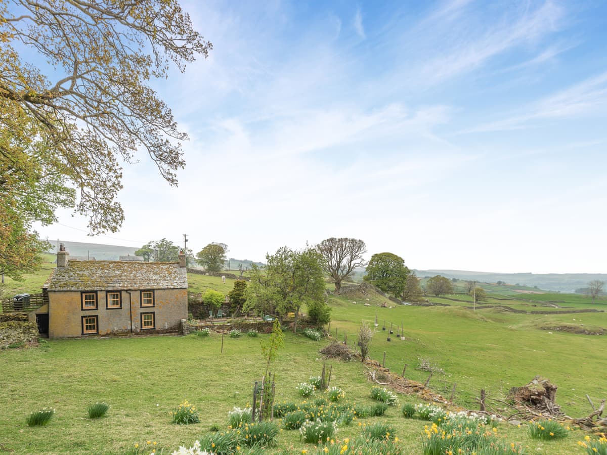
Haweswater Cottage near The Knott Cottages.com

Haweswater Cottage

Great Strickland Sleeps 8 18 min drive to The Knott route · 7.7 km Indicative price £831 for 7 nights
View this stay
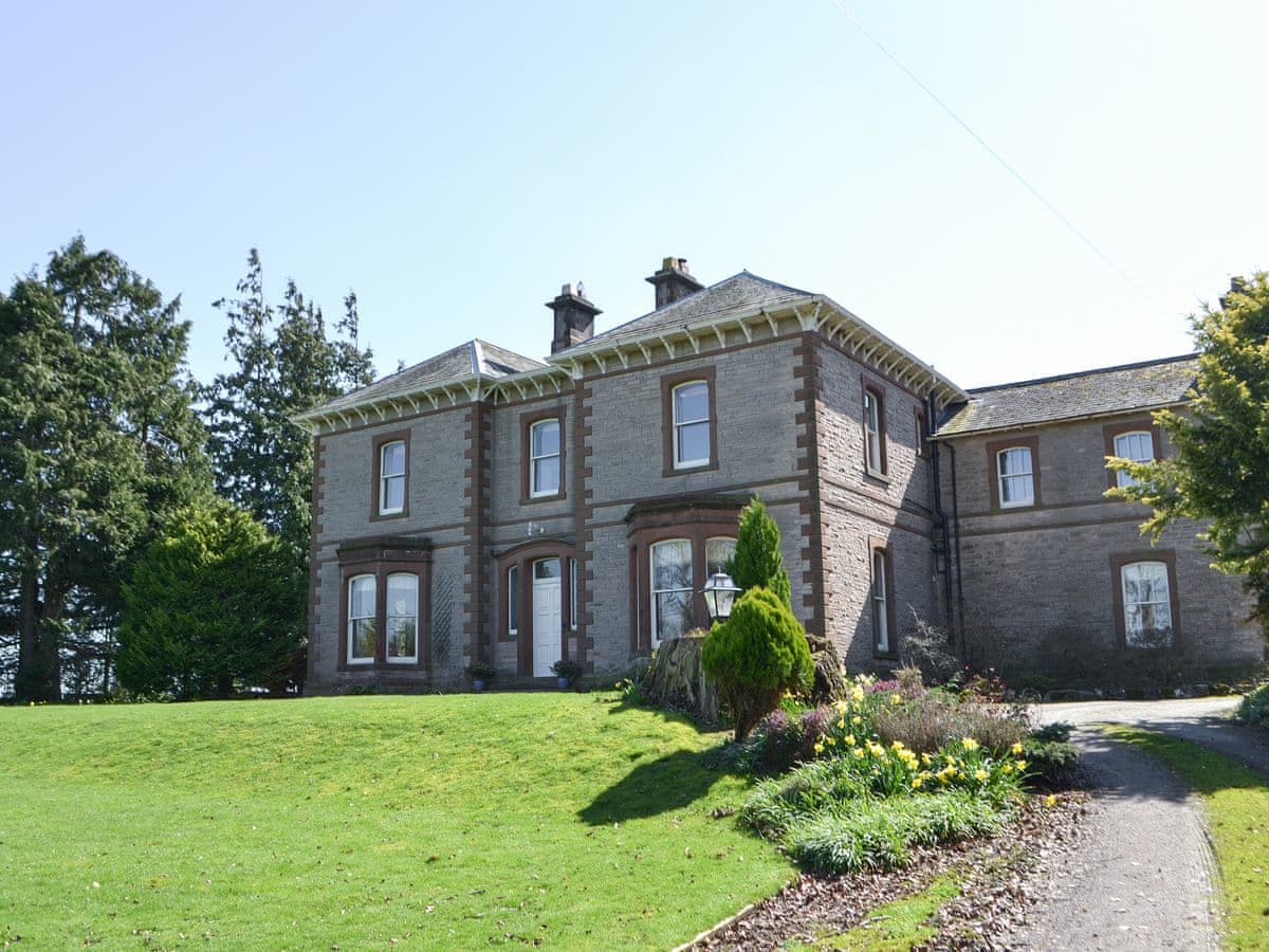
Tirril Lodge near The Knott Cottages.com

Tirril Lodge

Pooley Bridge and Northern Ullswater Sleeps 12 28 min drive to The Knott route · 19.9 km Indicative price £1,011 for 7 nights
View this stay
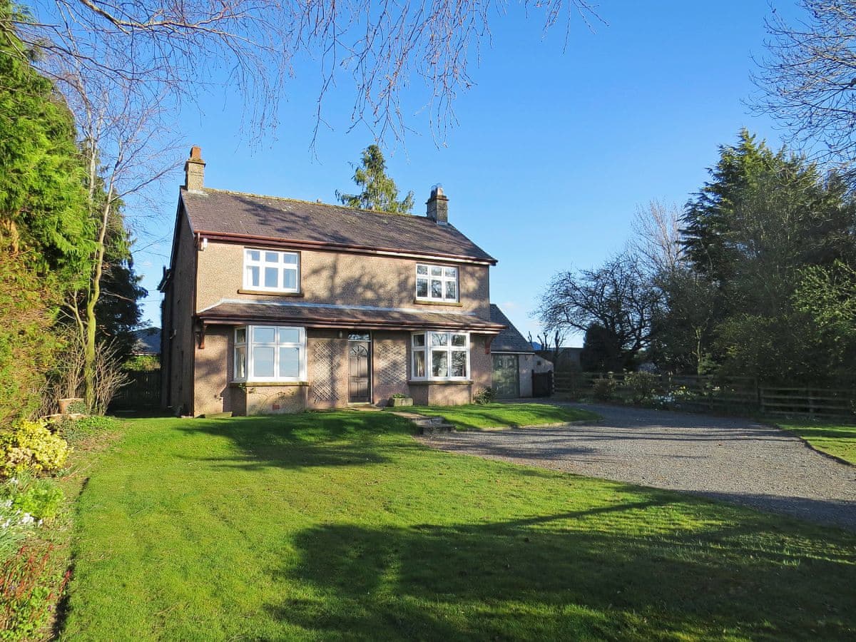
Moor House near The Knott Cottages.com

Moor House

Penrith Sleeps 9 28 min drive to The Knott route · 19.9 km Indicative price £911 for 7 nights
View this stay

Accommodation links may be affiliate links. Prices and availability must be rechecked with the provider. Catalogue updated 26 August 2026 at 13:05 UTC.

Check live dates

Search exact availability.

Choose a weekend and party size to compare live total prices for a seven-night stay.

Accommodation links are affiliate links. Availability and prices may come from Snaptrip, Cottages.com or Stay22 partners for the dates you choose.

A forecast is part of the decision.

Mountain weather can differ sharply from conditions in the valley. Check official warnings, carry appropriate navigation and clothing, and be ready to change the plan. Read how Mountain Weather forecasts are produced and where their limits lie.